
Avian Australia

Articles related to Avian Australia
Industrial
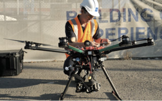
Drone Photogrammetry: How Can You Turn Drone Images into 3D Maps/Models? - Blog
November 18, 2021UAVs are mostly used in construction sites for drone asset inspection and land surveying. Drones can cover hundreds of acres in hours. Using the drone data insights, surveyors can create 2D maps and 3D models of structures and buildings.